Seminar on UAV and GIS Technologies Held at BEU
October 6, 2026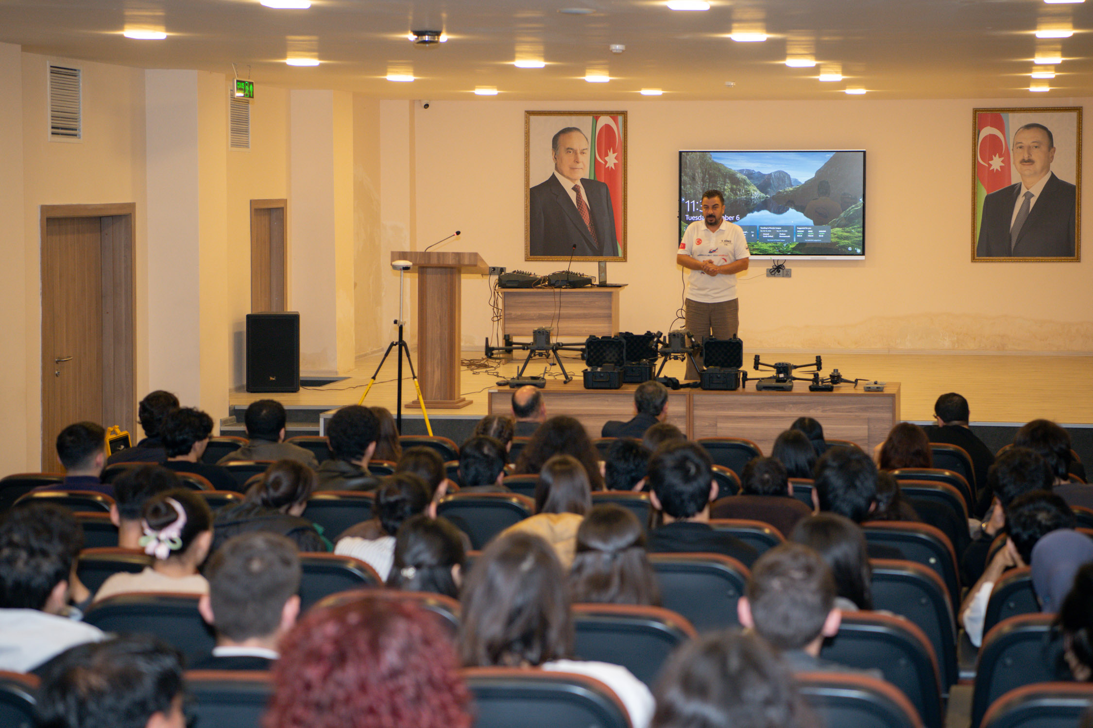
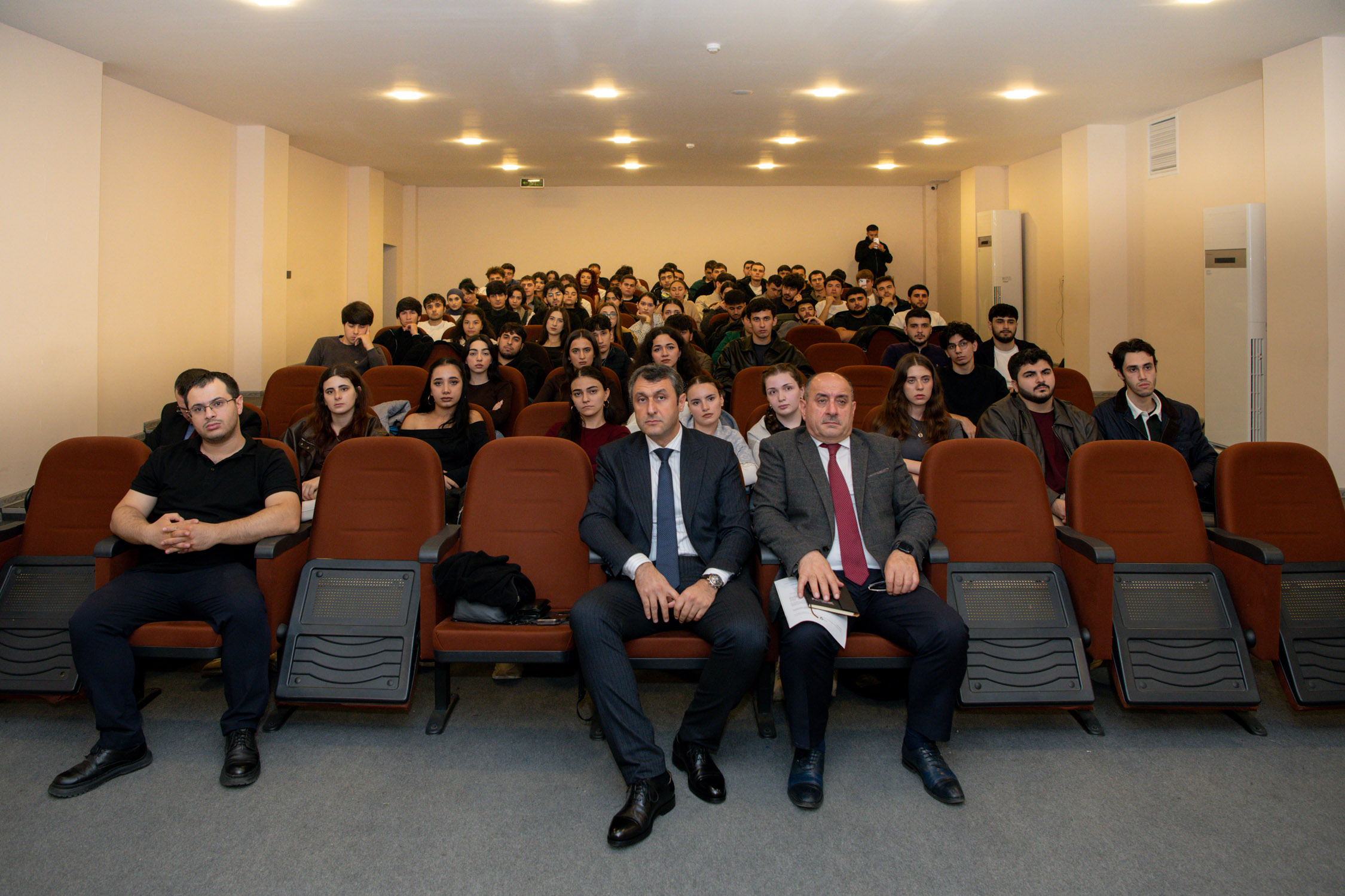
A seminar dedicated to unmanned aerial vehicles (UAVs) and Geographic Information Systems (GIS) was held at Baku Engineering University (BEU) in cooperation with "AZGIS" LLC and Türkiye’s "Maiden Flight Tech Aviation" company.
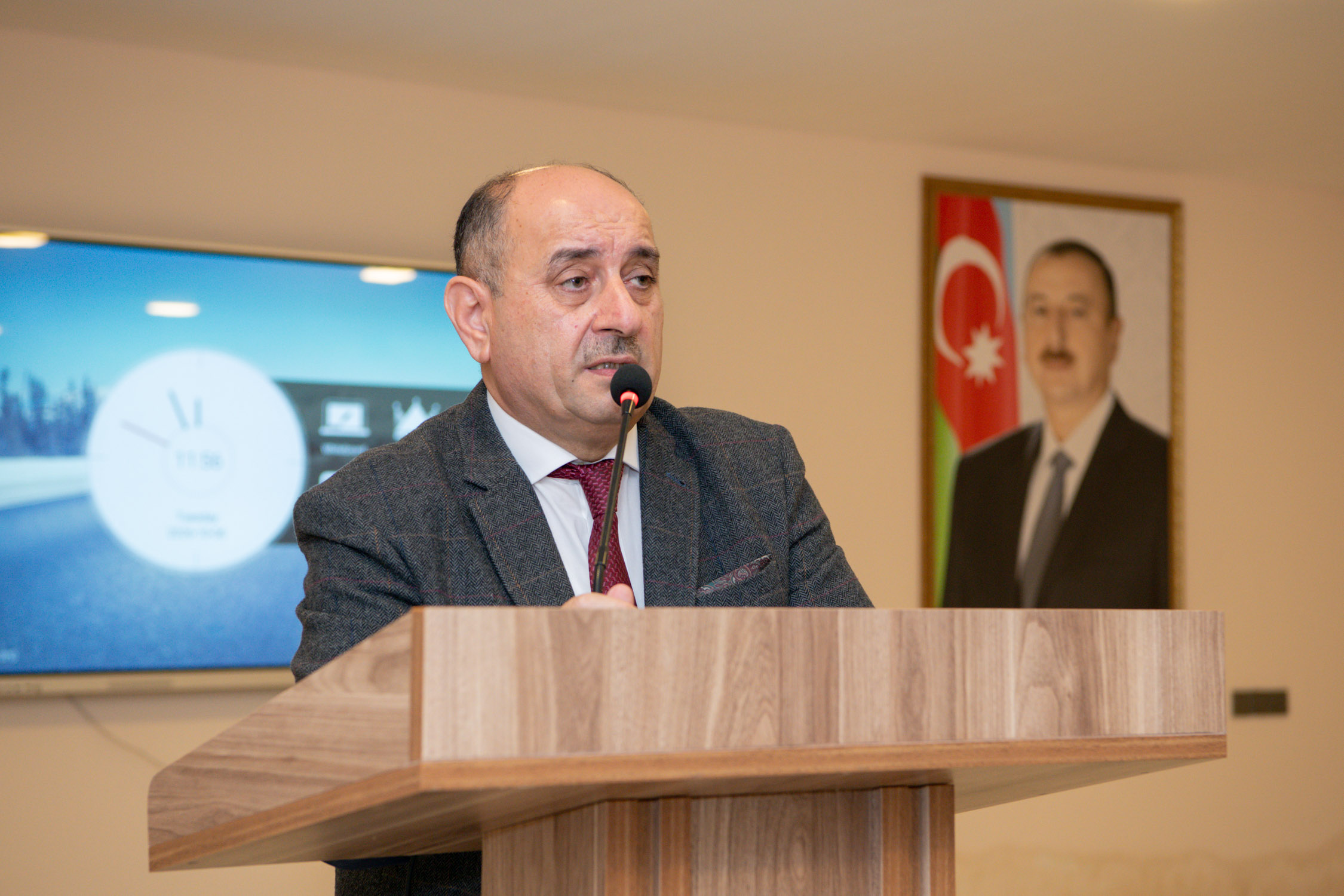
Speaking at the event, Asif Guliyev, Dean of BEU's Faculty of Engineering, discussed the importance of university-industry cooperation in the modern era. He emphasized that seminars on the application of modern technologies contribute to developing students' practical knowledge and skills, familiarizing them closely with new technologies, and preparing them as specialists aligned with labor market requirements.
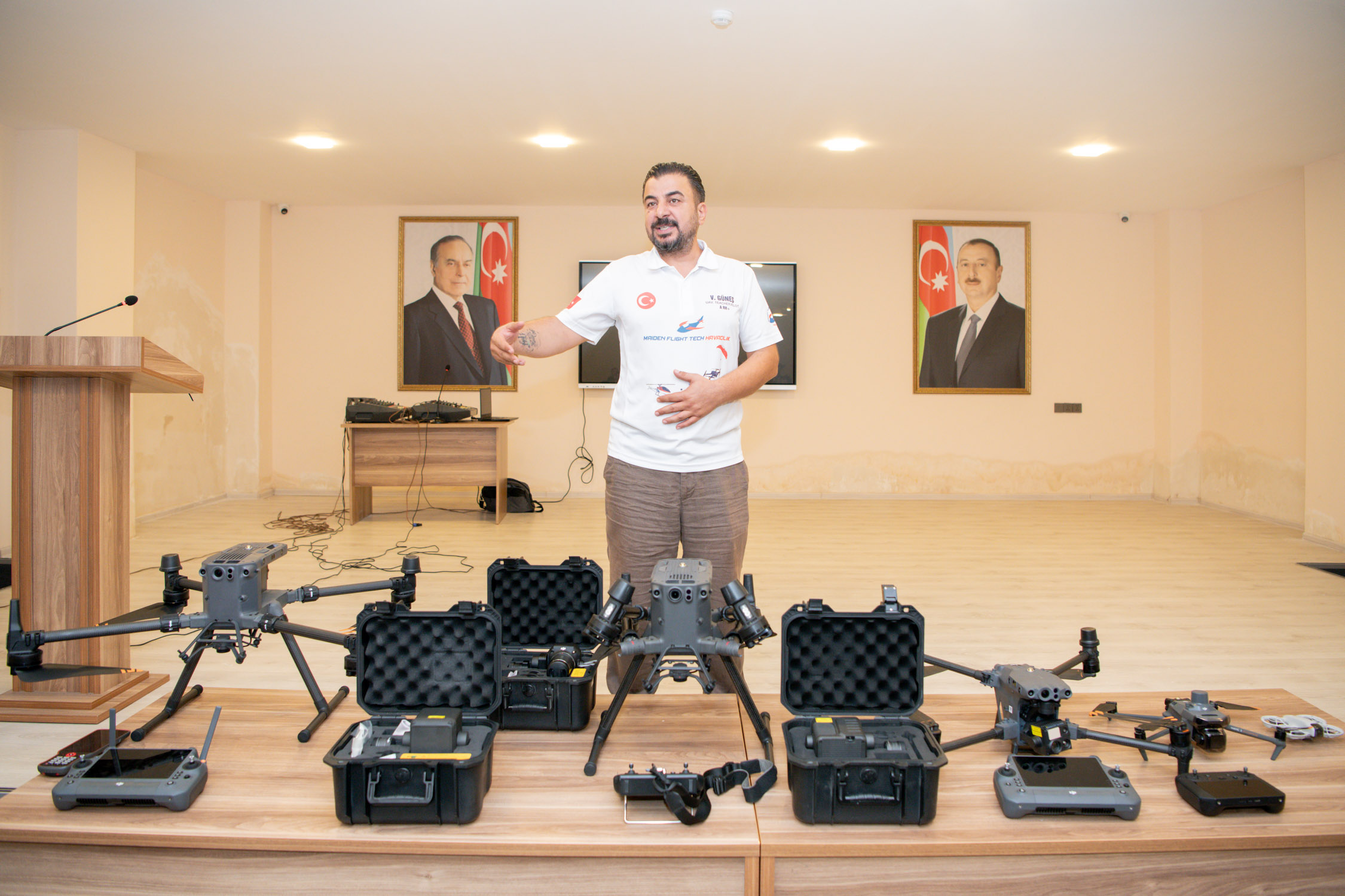
Vedat Güneş, Chairman of the Board of "Maiden Flight Tech Aviation," then provided information about the company's activity and its work in the field of UAV technologies. Touching on Türkiye's recent achievements in the defense industry, the guest noted that the application of modern technologies, including unmanned aerial vehicles, is expanding in the military and defense sectors. He noted that the potential uses of UAVs are also expanding in agriculture, the cleaning of high-rise buildings, and other technical service fields.
During the presentation, the importance of young people acquiring knowledge of UAVs and other modern technologies was emphasized, and information was provided on educational and practical training opportunities in this field.
As part of the seminar, a demonstration of drones for various purposes was held. Participants were provided with information on the technical capabilities, application areas, and usage features of UAVs.
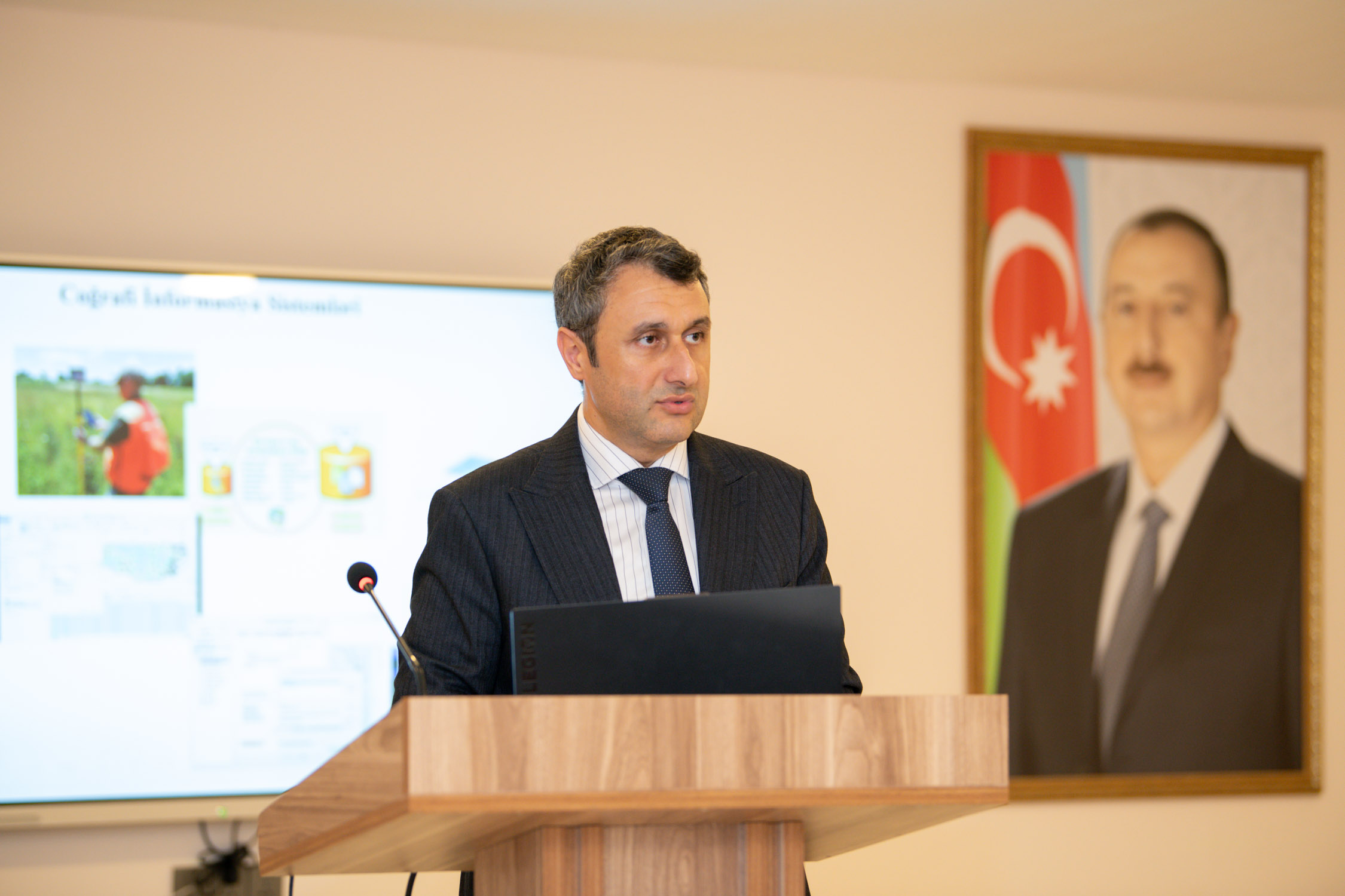
Amil Agayev, founder of "AZGIS" LLC, then gave a presentation on GIS and its application possibilities. He stated that GIS plays an important role in geodesy, topography, and cartography, in conducting various types of surveys using UAVs, as well as in carrying out various engineering-survey works. It was noted that processing images and data obtained from UAVs using GIS technologies enables more accurate mapping of territories, obtaining information about various objects, and improving the decision-making process when preparing engineering projects.
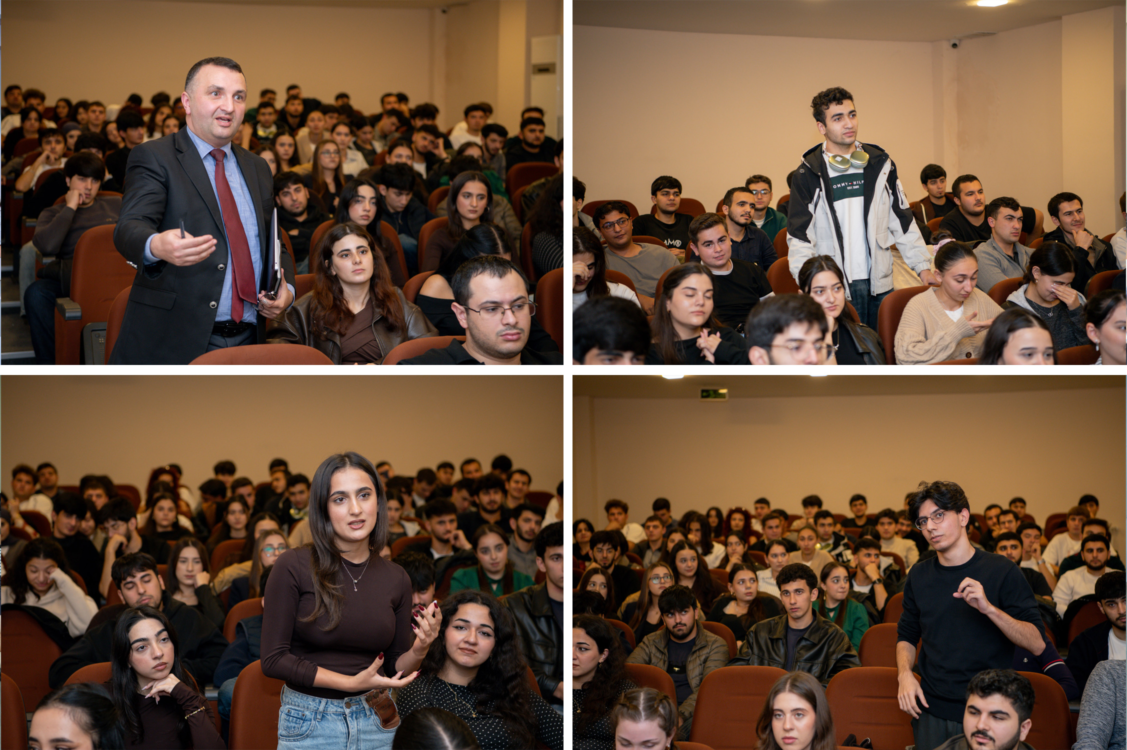
At the end of the seminar, questions of interest to participants were answered.